Land Management and Cadaster
Land Management

Services
- Land Management, Land Acquisition & Resettlement Plan and Framework (LARP and LARF)
- Right of Way Services (RoW)
- Forestry
- Cadaster Services
- Study on Compensation Values
- Asset Inventory and Evaluation
- GIS Mapping & Geodatabases
- Aerial and Terrestrial Surveying: Lidar and drone survey
- Bathymetry and photogrammetry
- Web GIS app
- 3 in 1 Data Model Development and Technical Support
Projects
Projects
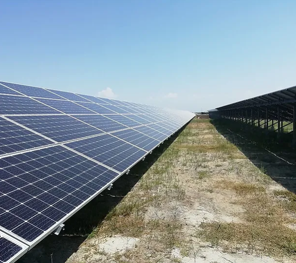
Cadastral survey for Karavasta power plant Over Head Line, Voltalia
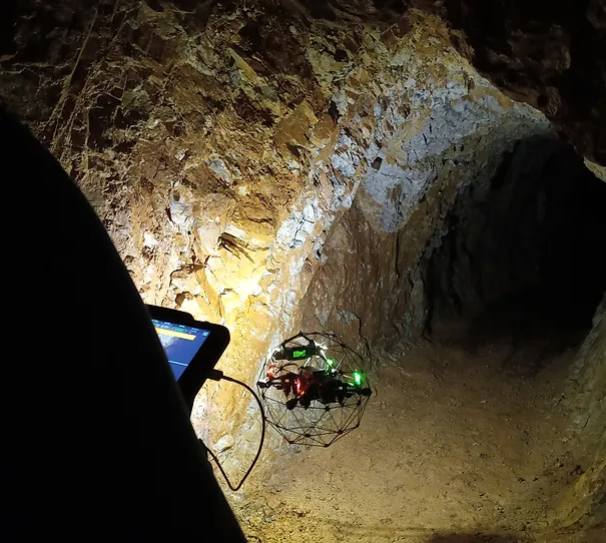
Land Surveying for Skavica Hydropower Plant, Bechtel
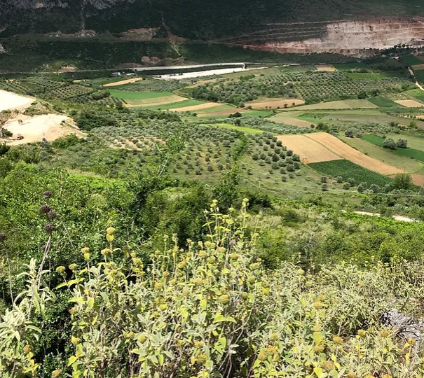
Albania Cash Compensation and Resettlement Policy Framework Review, Royal Dutch Shell
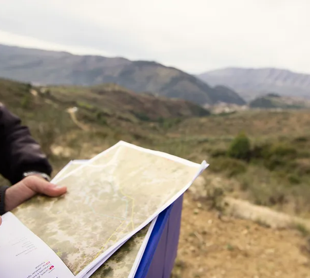
Legal Cadaster & Land Easement and Acquisition for Pipeline and Other Facilities of TAP
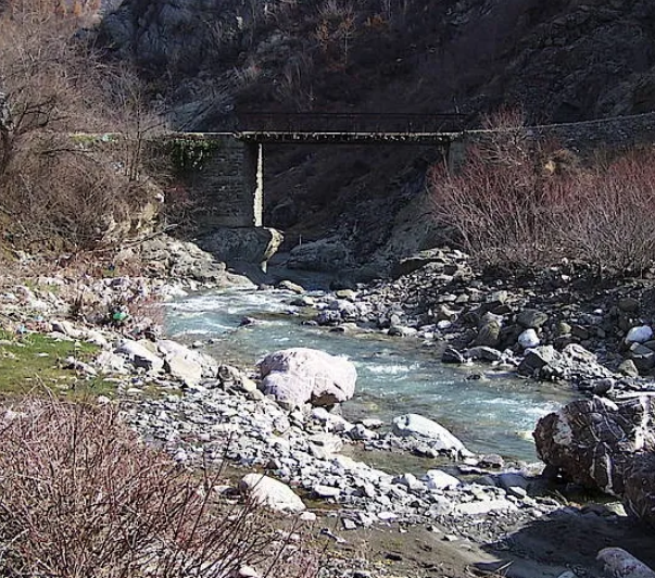
Land access and cadastral improvement, Enso Hydropower/Mati HPP/Hidro Invest HPP/Seka HPP

Social Study, Land Compensation Value and Livelihood Restoration Framework, SOWI Kosovo
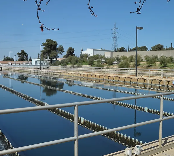
Resettlement Policy Framework for Water Sector Performance and Investment Programme (WPIP), KfW
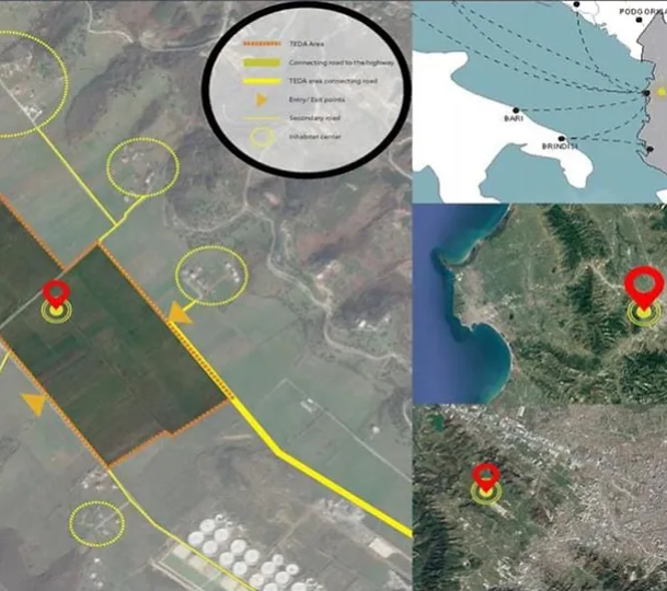
Cadastral services for TEDA (Technology, Economic, Development Area) project, Tirana Municipality
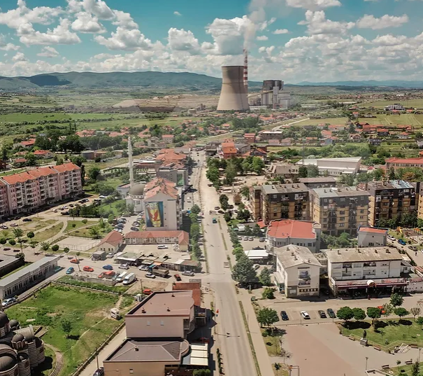
Consultancy services for the Resettlement Action Plan of Municipality of Obiliq, KEK
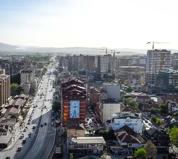
Prefeasibility Study for Kosovo Gas and Energy Sector Development, Millennium Challenge Corporation (MCC)
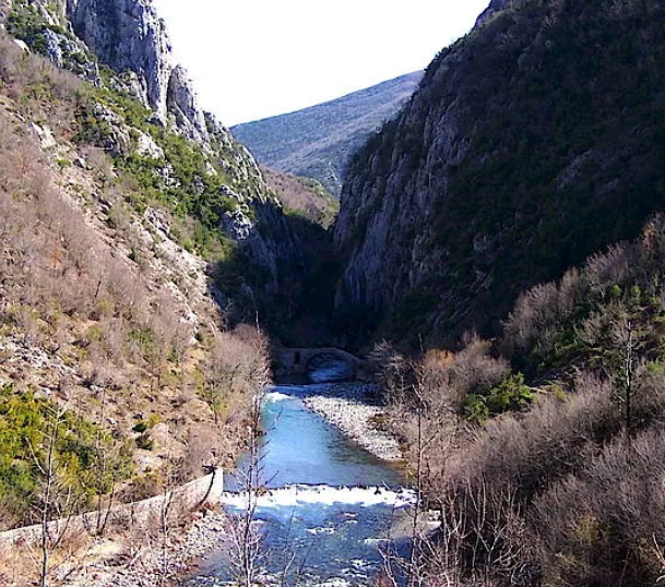
Land Acquisition services for Hidroinvest; Enso
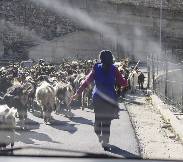
Development of Integrated Forests and Pastures Management Plans in five municipalities


